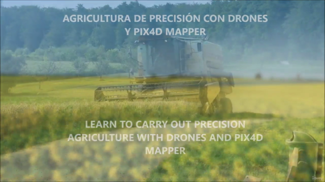
Teledetección con drones y Pix4D Mapper (Remote sensing)
Despega tu Carrera con la Teledetección con Drones: Domina el Análisis del Terreno y la Agricultura de Precisión
4.61 (19 reviews)
59
students
1.5 hours
content
Sep 2024
last update
$19.99
regular price
What you will learn
Comprender los principios básicos de la "Teledetección con drones" y su aplicación a la "Agricultura de Precisión"
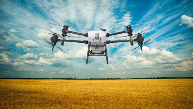
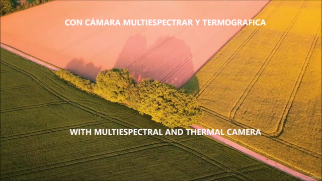
Aprender a planificar vuelos con dron y a utilizar cámaras multiespectrales como Parrot Sequoia y Wiris.
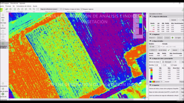
Ser capaz de realizar el flujo de trabajo completo en Pix4D Mapper para obtener resultados. crear índices de vegetación,..
Conocer y obtener los índices de vegetación más habituales: NDVI, RVI, Mapas térmicos de vegetación,..
Understand the basic principles of "Drone Remote Sensing" and its application to "Precision Agriculture"
Learn to plan drone flights and use multispectral cameras such as Parrot Sequoia and Wiris.
Being able to do the full workflow in Pix4D Mapper to get results. create vegetation indices,..
Know and obtain the most common vegetation indices: NDVI, RVI, thermal maps of vegetation,...
Screenshots
5047708
udemy ID
12/29/2022
course created date
2/1/2023
course indexed date
Bot
course submited by