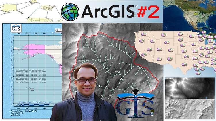
ArcGIS Level 2: Advanced Analysis, Editing and Mapping
If you want to Learn Advanced Analysis, Advanced Editing and Mapping of ArcMap, Then This Course is For You.
4.29 (113 reviews)

688
students
5.5 hours
content
Feb 2025
last update
$59.99
regular price
What you will learn
Raster Analysis
Advanced Tools to Edit Shapefile Smartly
Database Analysis with Advanced Tools and Expression
Spatial Adjustment
Hydrology Analysis
Watershed Delineation
Geometric Calculation
Raster Calculation
Expression of Raster Calculation
Flow Accumulation Analysis
Population Based Analysis with Advanced Symbology
Map Algebra
Flow Direction Analysis
How to Add 3D Pie Chart and Bar Chart in Map
Basin Analysis
Hillshade
Fill Analysis
How to Create A Grid Map
Advanced Map Layout
Database Connection
Advanced Snapping
How to Calculate The Area, Perimeter and Centroid of Polygon Features
Tips to Start any Expression Code or Programming Language Easily
Case Study 1: Calculate The Summation of Male and Female Population in Each State of USA
Case Study 2: Summarize State Population of Each Sub-Region
Differences Between Join and Relate with Practical Task
How to Copy Features as Different Size into Another Layer
Fillet Tool
How to Create a Tangent Curve Connecting 2 Lines
Extend Tool
How to Remove Gap Between Lines
Trim Tool
How to Delete Extra Portion of Intersected Lines
Line Intersection Tool
How to Split Lines of Intersection
Explode Multipart Feature Tool
What is Multipart Feature
How to Split Multipart Feature
Construct Geodetic Tool
Construction Tools
Edit Vertices
Rectangle Tool
Circle Drawing Tool
Ellipse Drawing Tool
Freehand Drawing Tool
Auto Complete Polygon
Auto Complete Freehand
Advanced Tools of Editor Toolbar
Straight Segment Tool
Arc Segment
End Point Arc Segment
Trace Tool
Right Angle Tool
Midpoint Tool
Distance-Distance Tool
Direction-Distance Tool
Intersection Tool
Attribute Table Based Analysis
Field Calculator
Thinking Language and Programming Language
Expression Code to Calculate The Sum of Two Fields
How to Save and Load Expression Code in Field Calculator
CAL File
Generate Code from CAL File
Symbology of Raster Data
Classified Symbology of Raster Data
Stretched Symbology of Raster Data
How to Import Raster Data in a Geodatabase
What is Field Alias
Field Summarize
Summarize A Non-Unique Field
Summarize Multiple Fields
Advanced Tools and Options of Attribute Table
Multiple Sorting of Fields
Freeze/Unfreeze Column
How to Join Shapefile Attribute Table with a DBF File and Excel File
Troubleshoot of Join Table
Relate Shapefile Attribute Table with DBF File and Excel Sheet
Tip 1: Shortcut Way to Join and Relate
Types of Geometric Calculation
Calculate Latitude/Longitude of all Point Features
Projected Coordinate System (PCS)
Geographic Coordinate System (GCS)
Problem with GCS to Calculate Length
How to Calculate Length of Polyline Features with PCS
How to Calculate Latitude/Longitude of Line
Map Label with Latitude/Longitude Value
What is Perimeter
What is Centroid
Tangent Curve Segment
Bezier Curve Segment
Continue Feature Tool
Sketch Properties
Vertex Properties
Reshape Feature Tool
Cut Polygon Tool
Rotate Tool
Absolute X, Y Tool
Length Tool
Line Tool
Split Tool
Point Tool
Point at End of Line
Types of Feature Edit
Feature Drawing Without Any Gap or Overlap
Point Snapping
End Snapping
Define The End Point of A Polygon Feature
Vertex Snapping
Edge Snapping
Midpoint Snapping
Intersection Snapping
Vertex Snapping On A Curved Feature
Snap Tips
Show Snap Type and Layer Name
Effects Toolbar
Effects on Raster Layer
Adjust Contrast, Brightness and Transparency of Layers
Effects on Feature Layer
Swipe
Flicker Layer
Tip 2: Start Editing for All Layers
How to Construct A Geodesic Circle
Align Tolerance
Replace Geometry Tool
How To Replace A Feature Without Changing The Attributes
Generalize Tool
Smooth Tool
Construct Polygons Tool
How to Create A New Feature Based on Intersected Features From Different Layers
Split Polygons Tool
How to Split Features Based on Intersected Features From Different Layers
Attribute Transfer Tool
Spatial Error and Correction
How To Correct The Shape and Placement of A Layer
New Displacement Link Tool
How To Make Spatial Adjustment More Accurate
Dot Density For Population Based Research
How to Add Chart in Map
How to Add Column Chart in Map
Stacked Bar, Chart and Column
Advanced Title Properties
Advanced Settings of Legend
How to Make Map Layout More Attractive with Neatline
Advanced Properties of North Arrow
How to Add Object in Map Layout
Organization Logo as North Arrow
North Arrow With Customized Angle and Direction
Advanced Settings of Scale Bar
Absolute Scale and Relative Scale
Scale Separator
How To Add Organization Logo in Map Layout
How to Add A New Excel Sheet in Map Layout
How to Add Attribute Table in Map Layout
Types of Grid Map
Graticule Grid
Measured Grid
Reference Grid
Grid Ticks and Label Settings
Detail About Raster Data
Surface Map
Elevation Map
Raster Data for Raster Analysis
Properties of Raster Data
Raster Cell or Pixel
Raster Grid
Raster Map Overlay with Basemap
How To Do Hillshade Analysis
Azimuth and Altitude of Hillshade Analysis
Z Factor of Hillshade Analysis
Error and Troubleshoot of Hillshade Analysis
Use of Effect Toolbar in Hillshade Analysis
Hillshade With Swipe
Hillshade With Transparency
Practical Steps of Watershed Delineation
Differences Between Input Raster and Fill Output
Raster to Polygon
Raster to Polyline
Clip Polygon of Study Area
Clip Polyline of Study Area
Watershed Delineation with Hillshade
Screenshots


Related Topics
4001272
udemy ID
4/23/2021
course created date
7/12/2021
course indexed date
Bot
course submited by