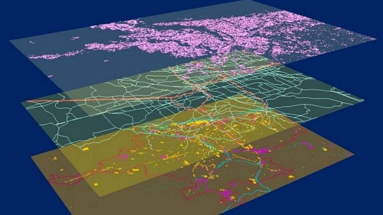
Introduction to Geographic Information System in QGIS
Become proficient in Geographic Information (GIS) in QGIS for vector & raster data analysis, learn fundamentals in QGIS
4.54 (35 reviews)

3,395
students
4.5 hours
content
Nov 2024
last update
$39.99
regular price
What you will learn
Learn step by step about QGIS using the latest long-lasting release in 2022
Learn how to work with and manipulate GIS data (vector and raster data)
Understand the basic and intermediate GIS concepts and analysis
Learn how to create beautiful maps in QGIS
Learn the core GIS operations on vector and raster layers
Analyze spatial data using QGIS
Learn how to work on geospatial projects in QGIS environment step-by-step
Screenshots


4507218
udemy ID
1/21/2022
course created date
2/16/2022
course indexed date
Angelcrc Seven
course submited by