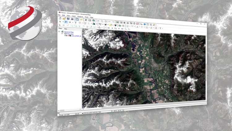
Geospatial Image Visualization with PCI Geomatics
Learn how to view geospatial imagery acquired from Earth observation satellites
4.34 (213 reviews)

5,441
students
43 mins
content
Sep 2022
last update
FREE
regular price
What you will learn
How to visualize satellite imagery in its native distribution format
Apply tools for advance visualization of satellite imagery and its contents
Examine the geographic component of satellite imagery
Improve the interpretability of satellite images
Screenshots


Related Topics
1296422
udemy ID
7/17/2017
course created date
12/22/2019
course indexed date
Bot
course submited by