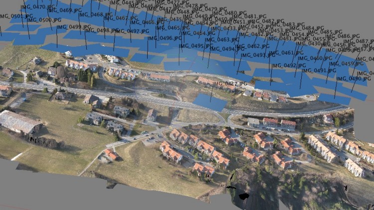
EN.1.UAV Drones: Introduction to 3D mapping
Learn how to optimize proceses and time for engineering projects.
3.12 (67 reviews)

737
students
1 hour
content
Dec 2018
last update
$34.99
regular price
What you will learn
Make measurements with the help of their UAV
Replace Lidar and Laser Scan devices with their UAV
Maximize results with their investment on UAV
Save lifes
Reduce Costs
Make a 3D model of buildings, people, terrain and objects
Export results to ArcGis and Autocad Civil 3D
Screenshots


Related Topics
381262
udemy ID
12/31/2014
course created date
11/24/2019
course indexed date
Bot
course submited by