Land use Land cover classification GIS, ERDAS, ArcGIS, ML
Machine Learning, Land Use Scratch to Advance, All Softwares of Remote Sensing and GIS, GIS Tasks in Easy way learning.
4.46 (588 reviews)

3,304
students
6.5 hours
content
Apr 2024
last update
$74.99
regular price
What you will learn
Able to do a Prefect Land use classification of Earth using satellite image
Also learn image Processing and analysis in depth
Landuse change Detection
Understand Features identification on Earth using Landsat Image
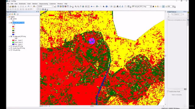
Post Landuse Pixel level corrections
Accuracy Assessment Report
Downloading of best satellite image and process
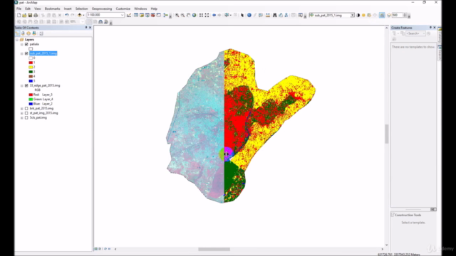
Understanding FCC satellite image and bands
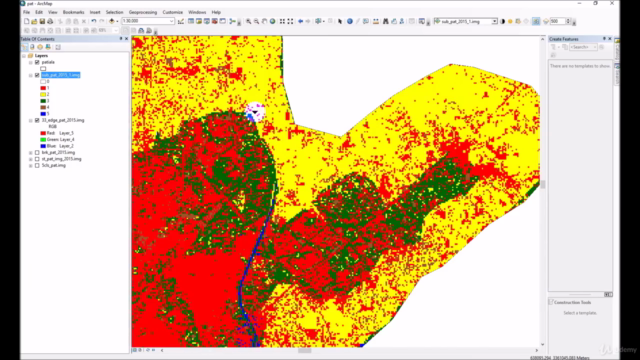
Pixel level correction in land use at specific area and statistical filters
Calculate area from Pixels
Generate new class after final landuse
Learn all best method of classification.
How to achieve maximum accuracy of classification
Cut Study Area
Classify with Machine Learning
Support Vector Machine
Random Forest
Screenshots

Related Topics
1482476
udemy ID
12/26/2017
course created date
2/8/2020
course indexed date
Bot
course submited by