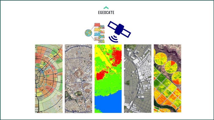
Mastering the Download of Remote Sensing and GIS Data
Your Comprehensive Guide to Downloading and Accessing Free and Commercial Geospatial Data
3.88 (4 reviews)

22
students
3.5 hours
content
Aug 2024
last update
$19.99
regular price
What you will learn
Download free commercial Imagery
Download Free very high resolution imagery
Download free DEM, DSM, Point clouds, Lidar data, Earthquake data
Download free remote sensing data from Google Earth Engine
Download free remote sensing data from USGS Earth Explorer
Download free remote sensing data from Sentinel Hub and other platforms
download free satellite imagery form 1960 to now
Download free Drone imagery
Identifying different types of remote sensing data (optical, radar, LiDAR, thermal, hyperspectral)
Identifying different types of GIS data (vector, raster, attribute, metadata)
Screenshots


6045416
udemy ID
6/27/2024
course created date
7/15/2024
course indexed date
Bot
course submited by