Remote Sensing
Learn Remote Sensing skills from top instructors

Arthur César Guima
27 courses

Sensoriamento Remoto e PDI com QGIS
47
students
3.5 hours
content
Feb 2022
updated
$19.99

Ali Jamali
3 courses

Hyperspectral satellite image classification Using Deep CNNs
272
students
2 hours
content
Feb 2023
updated
$49.99
İsmail Yılmaz
1 course

Google Earth Engine ile Uzaktan Algılama Uygulamaları
264
students
4 hours
content
Jan 2023
updated
$19.99

Thant Myanmar
12 courses

Fundamentals of Remote Sensing (RS နည်းပညာ၏ အခြေခံများ)
212
students
2 hours
content
May 2022
updated
FREE

Marwa Ali
3 courses

مشروع رصد تغير خط الساحل باستخدام برنامجي ArcMap & Envi
5
students
4.5 hours
content
Nov 2022
updated
$19.99

Gilberto Fernandes
9 courses

Detector Geofone (Vazamentos de água)
16
students
1 hour
content
Aug 2022
updated
$19.99
AulaGEO Academy
140 courses
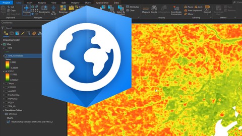
Remote Sensing using ArcGIS Pro - AulaGEO
11.1K
students
4 hours
content
Aug 2024
updated
$39.99

AulaGEO Academy
140 courses
Sensores Remotos - Conceptos y aplicación - AulaGEO
13
students
1.5 hours
content
Dec 2024
updated
$19.99

Arthur César Guima
27 courses

Sensoriamento Remoto com Softwares Spring e QGIS
23
students
2 hours
content
Apr 2023
updated
$19.99

AulaGEO Academy
140 courses
Remote Sensing - fundamentals and applications - AulaGEO
2.6K
students
1.5 hours
content
Dec 2024
updated
$22.99

AulaGEO Academy
140 courses
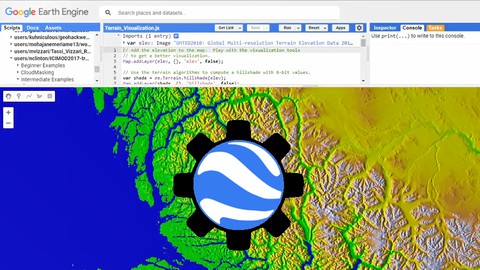
Introduction to Google Earth Engine (GEE) - AulaGEO
1.3K
students
1.5 hours
content
Aug 2024
updated
$59.99

Kate Alison
31 courses

Machine Learning in R: Land Use Land Cover Image Analysis
475
students
5.5 hours
content
Nov 2024
updated
$49.99

Kate Alison
31 courses

QGIS for Land Degradation Assessment & SDG monitoring in GIS
266
students
2.5 hours
content
Nov 2024
updated
$39.99
Lakhwinder Singh
8 courses

Crop Yield Estimation using Remote Sensing and GIS ArcGIS
567
students
2.5 hours
content
Apr 2024
updated
$49.99

Pravin Khandve
3 courses

Geomatics & Advance Surveying
98
students
40.5 hours
content
Feb 2023
updated
$54.99
Daniel Tena
5 courses

Teledetección con drones y Pix4D Mapper (Remote sensing)
59
students
1.5 hours
content
Sep 2024
updated
$19.99

Ali Jamali
3 courses

Pixel- and Object-based High-Resolution Image Processing
14
students
2 hours
content
Feb 2023
updated
$19.99

Ali Jamali
3 courses

ML algorithms development for land cover mapping (0-100)
66
students
2 hours
content
Jan 2023
updated
$54.99
